Cordoba Airport (ODB)
City Orientation and Maps
(Cordoba, Spain)
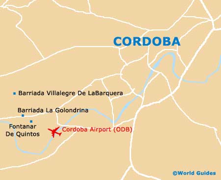
The city of Cordoba stands alongside the sweeping Guadalquivir River, being completed surrounded by scenic countryside in all directions. A large city with many modern structures, Cordoba is also extremely historic and is a true medieval location, listed as a World Heritage City of importance. The city itself boasts many modern conveniences and an established transport network, including Cordoba Airport (ODB), which can be found in the south-western suburbs.
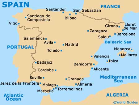
A number of prominent towns, villages and areas lie close to Cordoba, including Linares and Jaén to the west, Carmon and Ecija to the south-west, and Antequera to the south. Further afield, the city of Granada is around 235 km / 146 miles to the south-east of Cordoba, while Seville is approximately 140 km / 87 miles to the south-west. Also worth noting, beach lovers may wish to head to the world-class resort of Malaga, which can be reached in less than two hours and lies around 160 km / 100 miles directly south of Cordoba.
Cordoba Airport (ODB) Maps: Important City Districts
Central Cordoba is a fascinating place to visit, being full of medieval charm and a maze of winding streets and alleyways, centred around the Mezquita, on the northern side of the river. An important landmark in the city centre, the Plaza de las Tendillas is the main public square, surrounded by grand buildings and known for both its equestrian statue and modern fountains.
Spain Map

Cordoba Map


